Santa Ana
Philippines /
Cagayan Valley /
Casambalangan /
World
/ Philippines
/ Cagayan Valley
/ Casambalangan
World / Philippines / Cagayan / Santa Ana
town, municipality, third-level administrative division
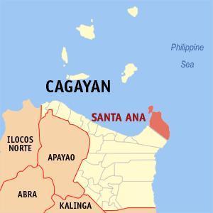


Municipality of Santa Ana, Province of Cagayan
Land Area: 441.30 km²
ZIP Code: 3514
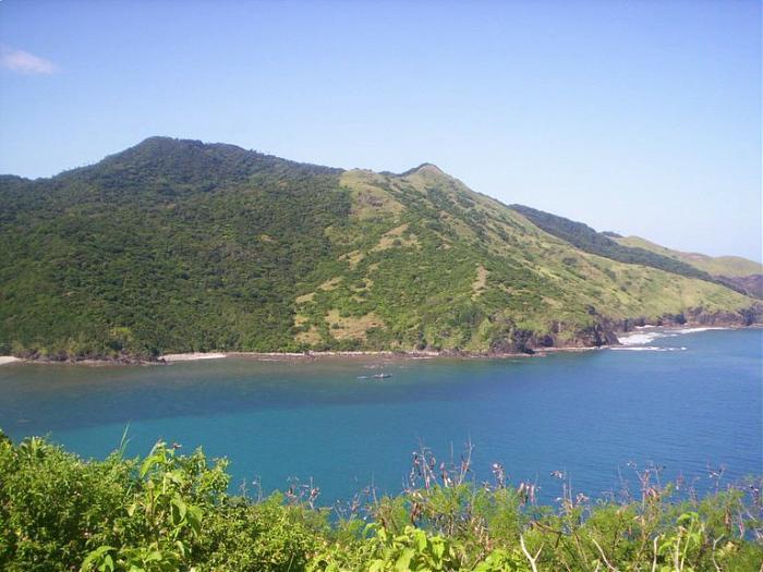
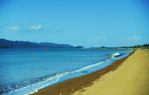
Santa Ana is a coastal municipality in the province of Cagayan in the Philippines. It is situated on the north-easternmost point of the island of Luzon, and includes Palaui Island as well. As of the 2010 census, it had a population of 30,458 people. Santa Ana is the home of the Cagayan Special Economic Zone.
Santa Ana is politically subdivided into 16 barangays:
-Casagan
-Casambalangan (Port Irene)
-Centro (Poblacion)
-Diora-Zinungan
-Dungeg
-Kapanikian
-Marede
-Palawig
-Parada-Batu
-Patunungan
-Rapuli
-San Vicente
-Santa Clara
-Santa Cruz
-Tangatan
-Visitacion
Land Area: 441.30 km²
ZIP Code: 3514
Santa Ana is a coastal municipality in the province of Cagayan in the Philippines. It is situated on the north-easternmost point of the island of Luzon, and includes Palaui Island as well. As of the 2010 census, it had a population of 30,458 people. Santa Ana is the home of the Cagayan Special Economic Zone.
Santa Ana is politically subdivided into 16 barangays:
-Casagan
-Casambalangan (Port Irene)
-Centro (Poblacion)
-Diora-Zinungan
-Dungeg
-Kapanikian
-Marede
-Palawig
-Parada-Batu
-Patunungan
-Rapuli
-San Vicente
-Santa Clara
-Santa Cruz
-Tangatan
-Visitacion
Wikipedia article: http://en.wikipedia.org/wiki/Santa_Ana,_Cagayan
Nearby cities:
Coordinates: 18°22'55"N 122°13'28"E
- Lal-lo 73 km
- Peñablanca 80 km
- Conner 131 km
- Kabugao 138 km
- Calanasan 138 km
- San Mariano 150 km
- Tineg 167 km
- Dinapigue 175 km
- Nueva Era 182 km
- Echague 192 km
- Mount Patunungan 7.7 km
- Ati Islands 8.1 km
- RACAT 10 km
- Mount Lacalacay 11 km
- Mount Tinago 11 km
- Batulinao Point 13 km
- Palaui Island 20 km
- Siwangag Cove 21 km
- Palaui Island Protected Landscape and Seascape 21 km
- Cape Engaño Cove 24 km
Comments